Digital Orienteering Map Archive for Vojta Král
|
Log in
All users
|
Language:
English
English
česky
|
DOMA 3.0.6.1
Show routechoices
Hide routechoices
|
Show overview map
Hide overview map
|
KML
|
Back
<< (02/05/2020)
|
RD long Umrlčí (05/05/2020) >>
(03/05/2020)
Category:
Tréninky
Map/area:
Maliník
Projected distance: 5.20 km
Climbing: 285 m
Distance:
6.04 km
Time:
43:51
Pace: 8:26 min/km
Real pace: 7:16 min/km
Average HR:
148
Maximum HR:
167
3D Rerun
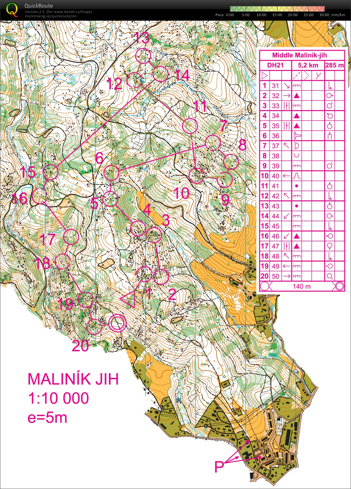
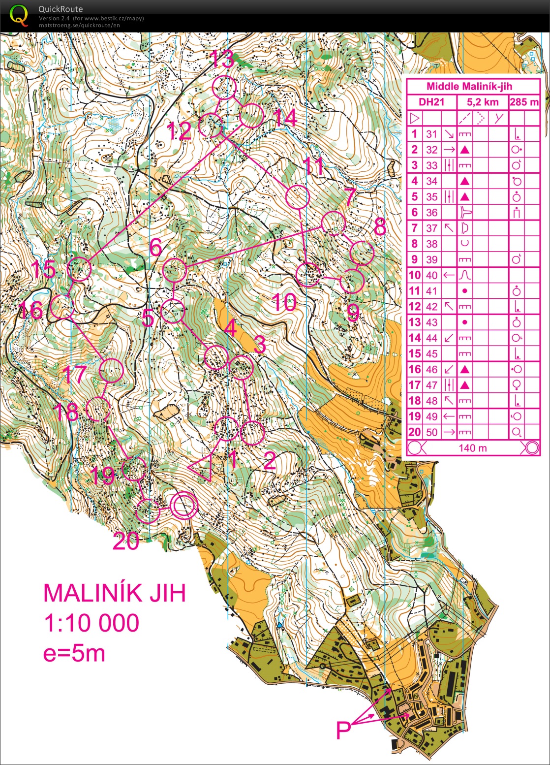
Treshold tempo, K5 - bit unsecure in the circle, K11 - totaly invisible feature, but anyway I didn't have clear attack point, K15 - no tape, K18 - this is different course version, no mistake, K19 - looking too early for control.
Show comments
Hide comments
(
0
)
Post new comment
Name:
Email:
Save
 English
 česky
česky