Digitalní archív orienťáckých map pro Vojta Král
|
Přihlásit
Všichni uživatelé
|
Jazyk:
česky
English
česky
|
DOMA 3.0.6.1
Zobrazit postupy
Skrýt postupy
|
Zobrazit náhled na Google mapě
Skýt náhled na Google mapě
|
Otevřít v Google Earth
|
Zpět
<< (03.04.2020)
|
(09.04.2020) >>
(05.04.2020)
Kategorie:
Tréninky
Délka: 11.80 km
Převýšení: 840 m
Skutečná délka:
16.43 km
Čas:
101:35
Průměr: 8:37 min/km
Skutečný průměr: 6:11 min/km
Prům. tepy:
156
Max. tepy:
170
3D Rerun
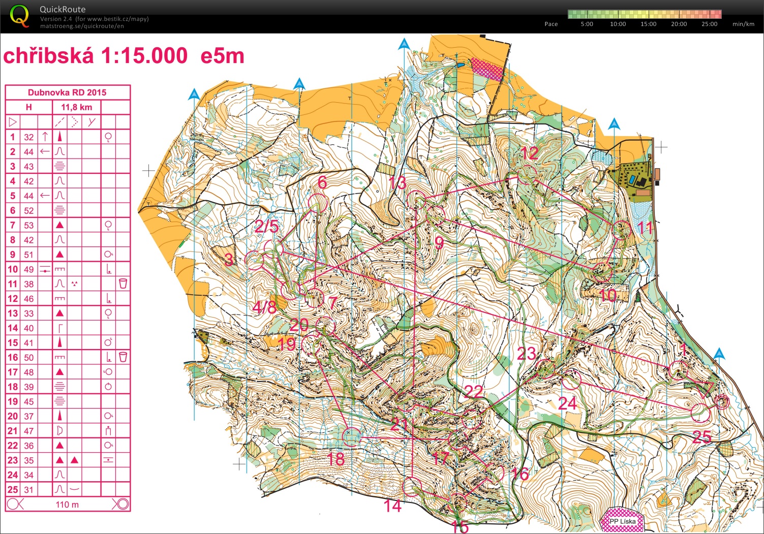
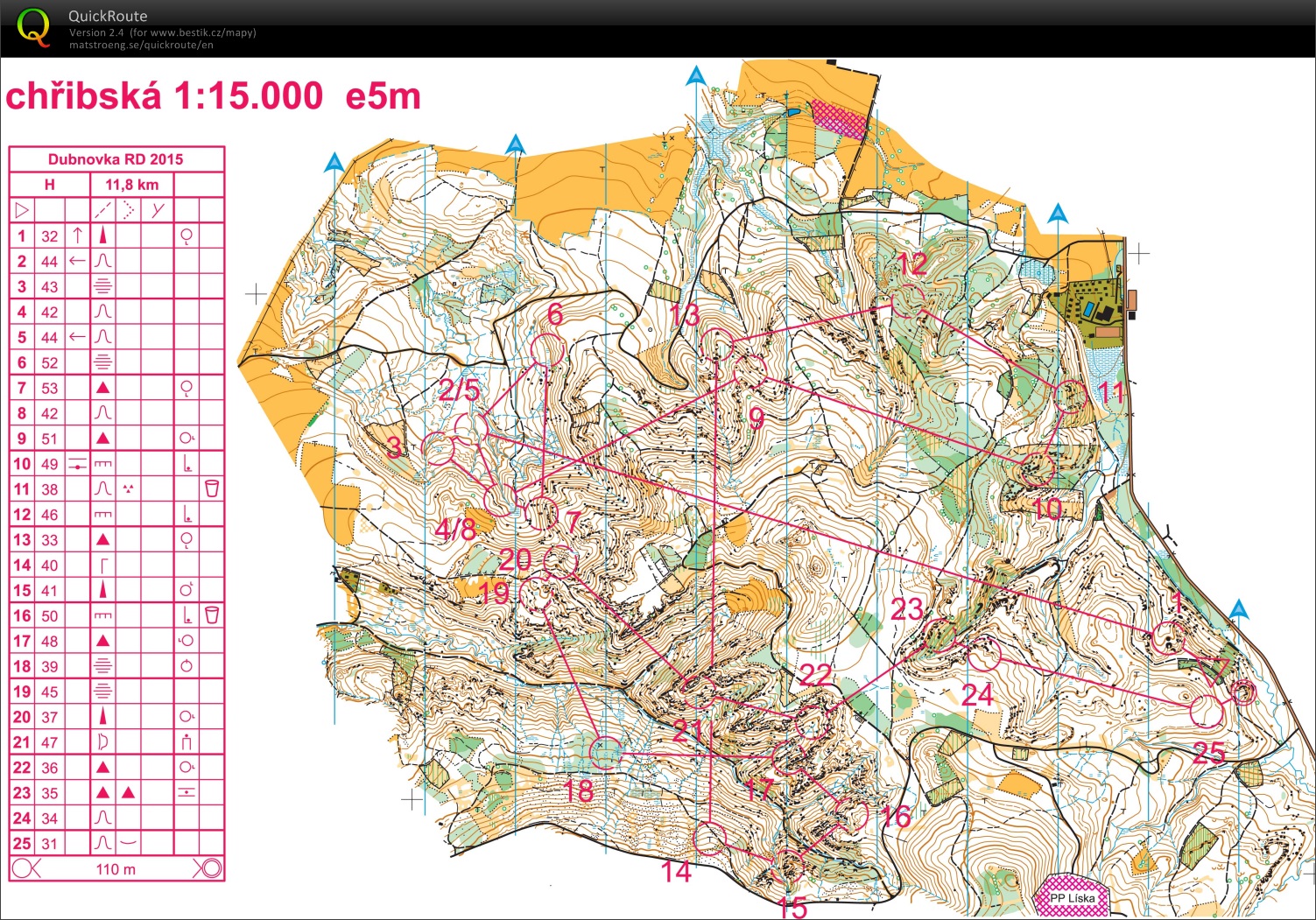
Some problems with GPS signal at nb.15, 17-19. One bigger mistake - at nb.18, didn't see the marsh nor the black cross, so I passed the right place - around 1:00 mistake. Probably wrong routechoice at nb.22 - was already tired to think. Great WOC21 relevant training.
Zobrazit komentáře
Skrýt komentáře
(
0
)
Napiš komentář
Jméno:
Email:
Ulož
 česky
 English