Digitalní archív orienťáckých map pro Standa Mokrý
|
Přihlásit
Všichni uživatelé
|
Jazyk:
česky
English
česky
|
DOMA 3.0.6.1
Zobrazit postupy
Skrýt postupy
|
Zobrazit náhled na Google mapě
Skýt náhled na Google mapě
|
Otevřít v Google Earth
|
Zpět
<< Tatry orienteering GPS E2 (07.07.2017)
|
Tatry orienteering GPS E4 (09.07.2017) >>
Tatry orienteering GPS E3 (08.07.2017)
Kategorie:
Závody - OB
Mapa/oblast:
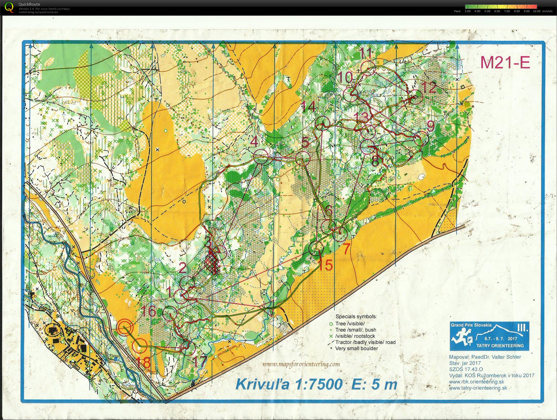
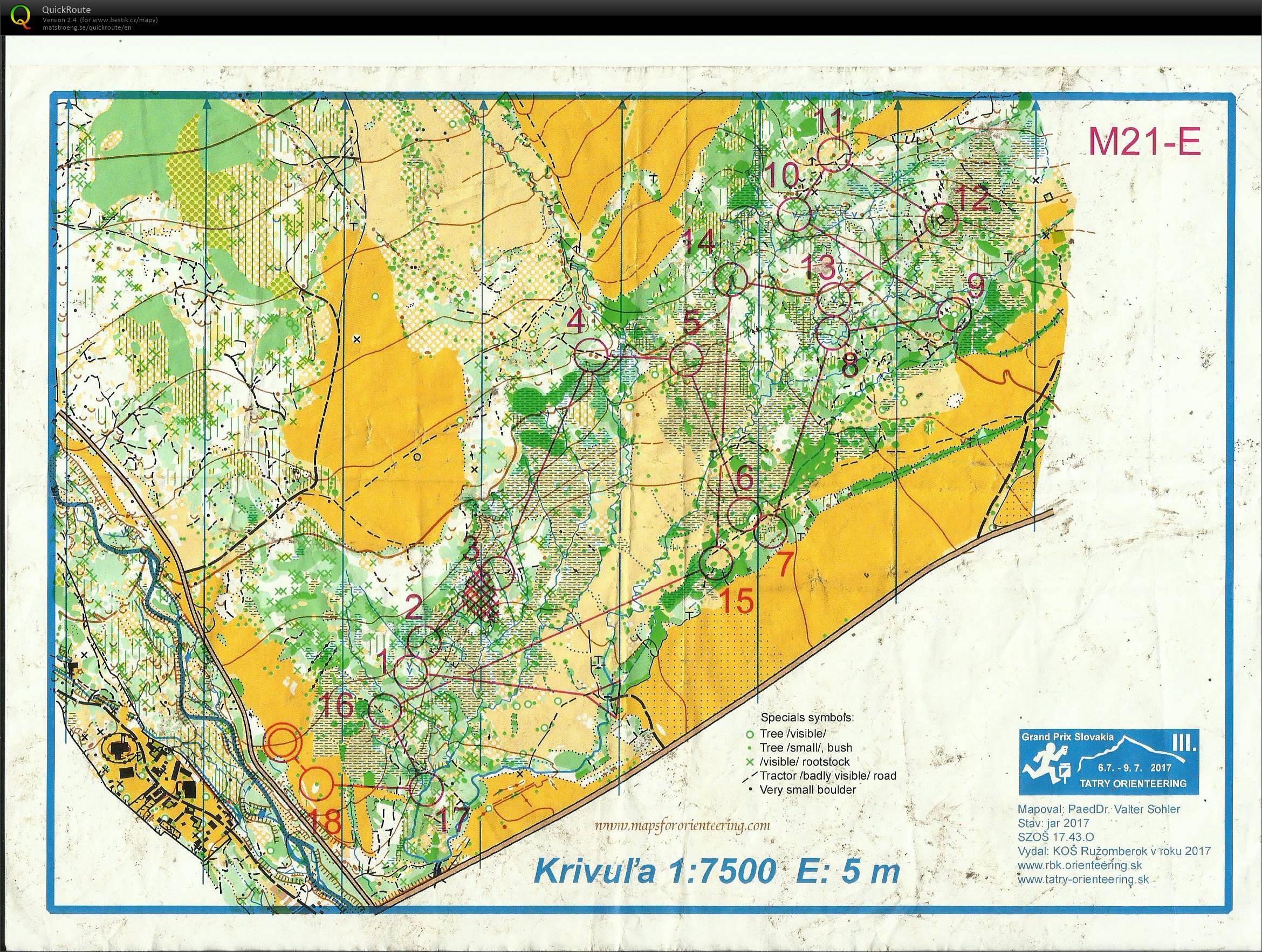
Krivula
Pořadatel:
RBK
Země:
SVK
Disciplína:
middle
Výsledky
Délka: 4.90 km
Skutečná délka:
6.27 km
Čas:
50:32
Průměr: 10:19 min/km
Skutečný průměr: 8:04 min/km
Prům. tepy:
145
Max. tepy:
168
3D Rerun
Zobrazit komentáře
Skrýt komentáře
(
0
)
Napiš komentář
Jméno:
Email:
Ulož
 česky
česky English