Digital Orienteering Map Archive for Michal Besta
|
Log in
All users
|
Language:
English
English
česky
|
DOMA 3.0.6.1
Show routechoices
Hide routechoices
|
Back
<< ICE-O 2011 long (02/07/2011)
|
Ostlöpet 2011 (21/08/2011) >>
ICE-O 2011 middle (03/07/2011)
Category:
Závody
Map/area:
Vífilsstaðahlíð
Organiser:
Rathlaupsfélagið Hekla, NATLOC2011
Country:
ISL
Discipline:
middle
Results
Projected distance: 5.70 km
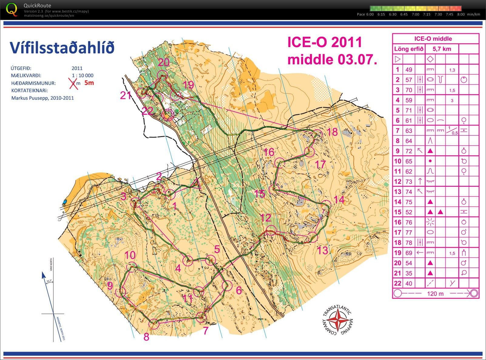
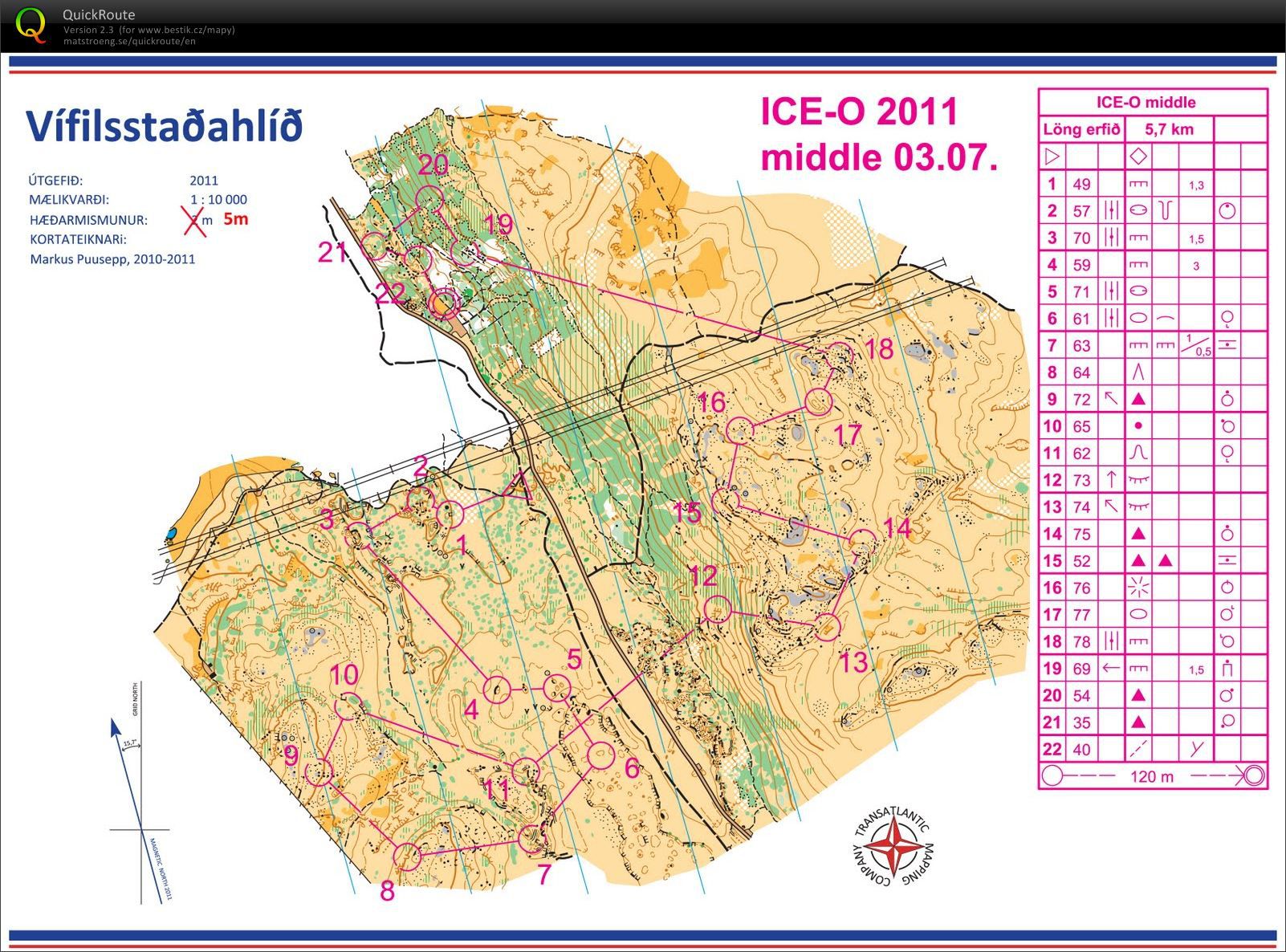
Very nice area - west from the road - a lava field with sharp rocks and deep cracks. Control 4 in lava cave! East part of the area - on the hill - some old rocks, good for running. End in green was fight where I missed about 1 minute passing a good path to second last control and went to some green thickets with lava stones... Alltogether with competitions in Greenland I became a first
North Atlantic Orienteering Champion
and got a very nice trophy from organizers. Thanks guys in Ilulissat, Nuuk and Reykjavik! They did a great job. Highly recommended for next year!
And a small bonus from Icelandic nature - one of my pictures of
famous puffins
at Látrabjarg rock.
Show comments
Hide comments
(
0
)
Post new comment
Name:
Email:
Save
 English
 česky
česky