Digital Orienteering Map Archive for Michal Besta
|
Log in
All users
|
Language:
English
English
česky
|
DOMA 3.0.6.1
Show routechoices
Hide routechoices
|
Back
<< ICE-O 2011 sprint (01/07/2011)
|
ICE-O 2011 middle (03/07/2011) >>
ICE-O 2011 long (02/07/2011)
Category:
Závody
Map/area:
Heiðmörk
Organiser:
Rathlaupsfélagið Hekla, NATLOC2011
Country:
ISL
Discipline:
long
Results
Projected distance: 8.60 km
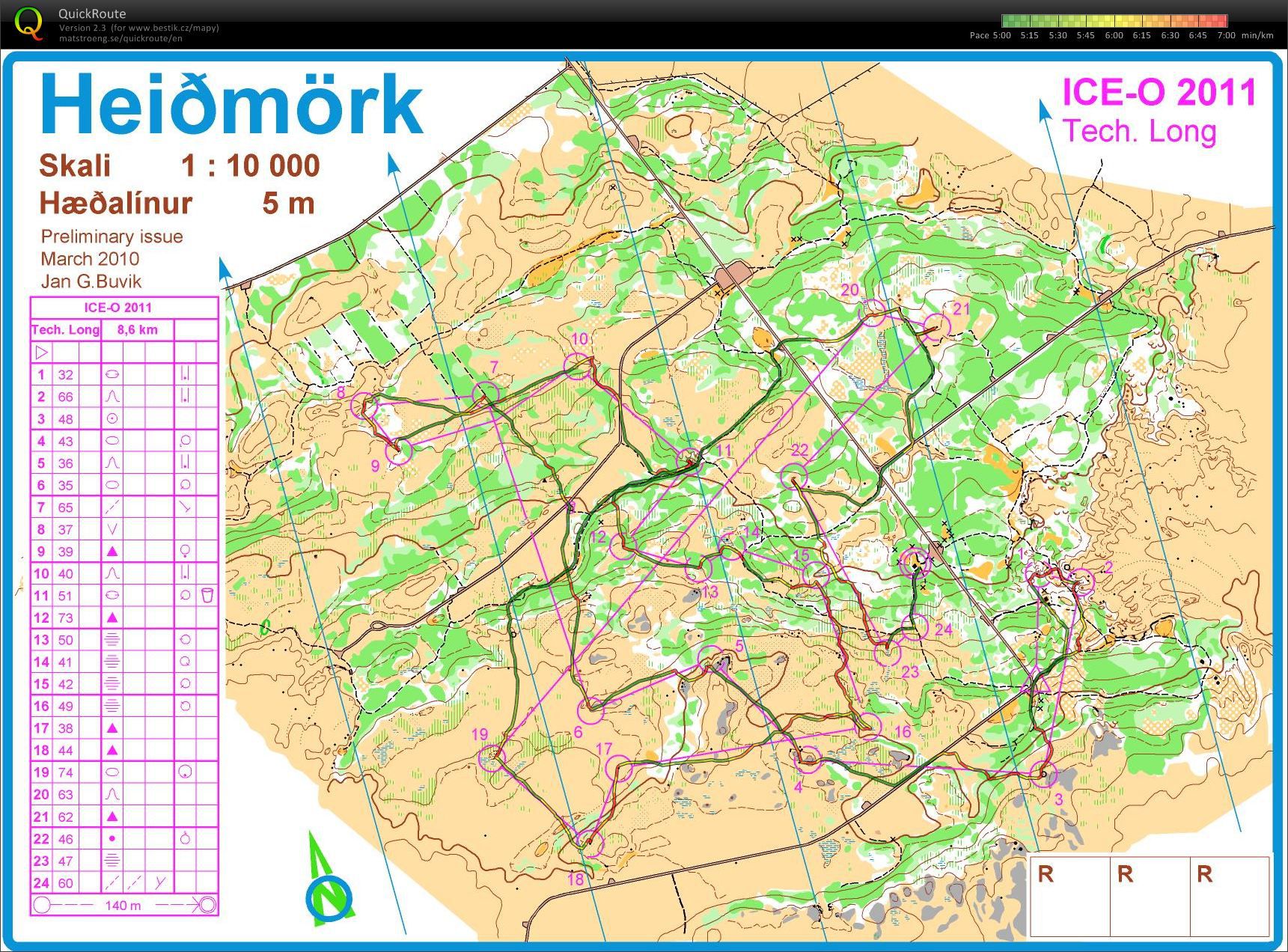
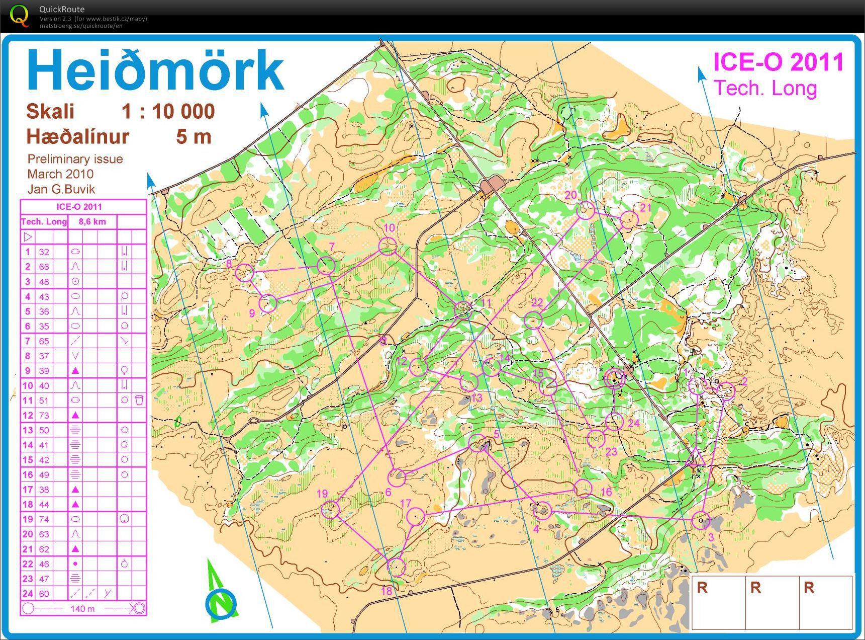
Very difficult terrain. Green = slow walking and fight, green hatching = mixed thick bushes = same speed like in green. Yellow = open land, mostly lava rocks with deep moss, heavy running, similar to my favourite deep snow... Nice race but already tired after Greenland.
Show comments
Hide comments
(
0
)
Post new comment
Name:
Email:
Save
 English
 česky
česky