Digital Orienteering Map Archive for Michal Besta
|
Log in
All users
|
Language:
English
English
česky
|
DOMA 3.0.6.1
Show routechoices
Hide routechoices
|
Back
<< 10mila (30/04/2011)
|
Nässjö OK (22/05/2011) >>
Kalmarträffen (07/05/2011)
Category:
Závody
Map/area:
Rockneby södra
Organiser:
Kalmar OK
Country:
SWE
Discipline:
long
Results
Projected distance: 11.10 km
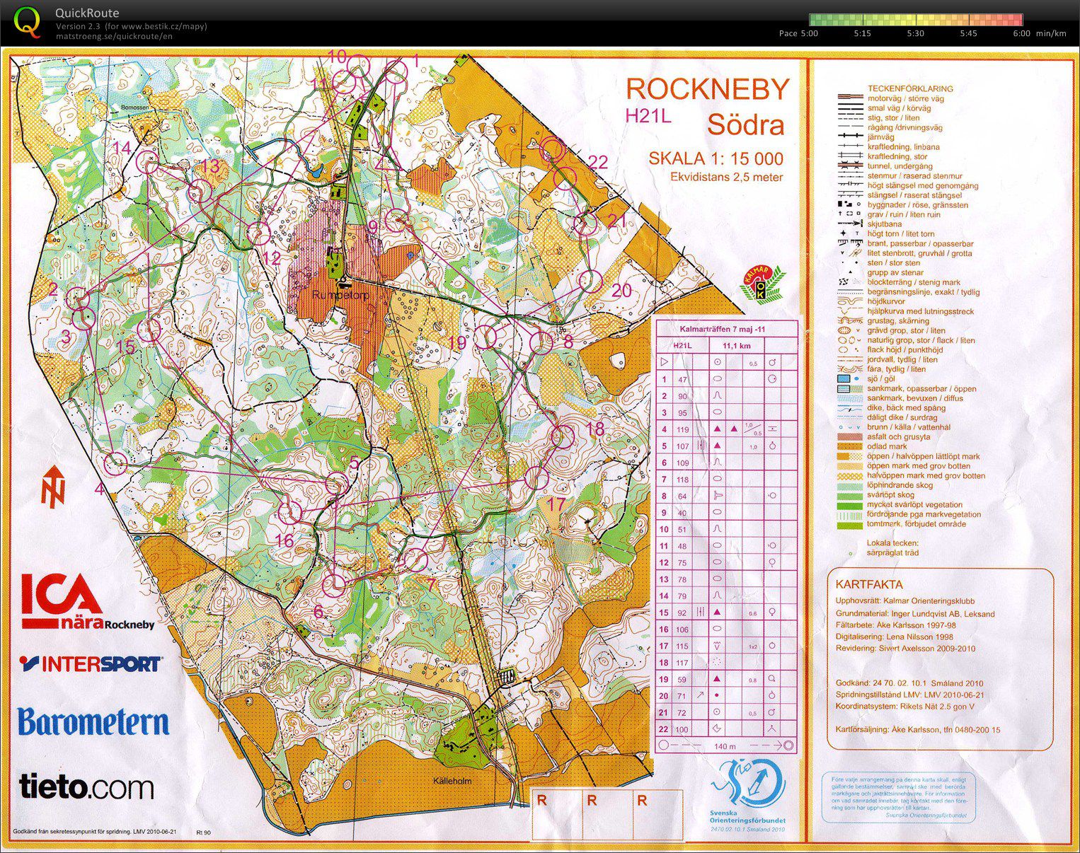
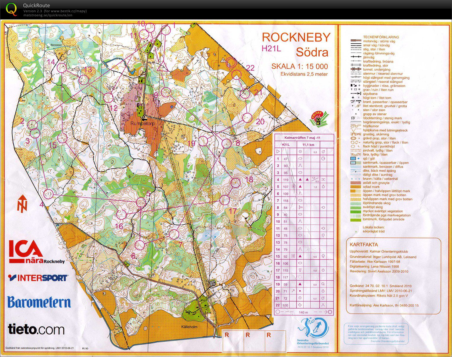
One of the very few maps in Sweden where GPS track really didn't fit to the map and I needed to adjust it a lot... Some white parts were very "green" and sometimes even without trees (white - green area right before 2nd control was a large clearing). Missed slightly no 1 and 9, in the middle of the route to 2 went too much right to green and on the way to 17 the light green was very thick and the creek too wide to stay dry... Very strange course setting for a class with 8 people. Maybe a training for some one-man-relays?
Show comments
Hide comments
(
0
)
Post new comment
Name:
Email:
Save
 English
 česky
česky