Digital Orienteering Map Archive for Jakub Škoda
|
Log in
All users
|
Language:
English
English
česky
|
DOMA 3.0.6.1
Show routechoices
Hide routechoices
|
Show overview map
Hide overview map
|
KML
|
Back
<< Saxbo 2016 (21/05/2016)
|
ČP ASU middle (28/05/2016) >>
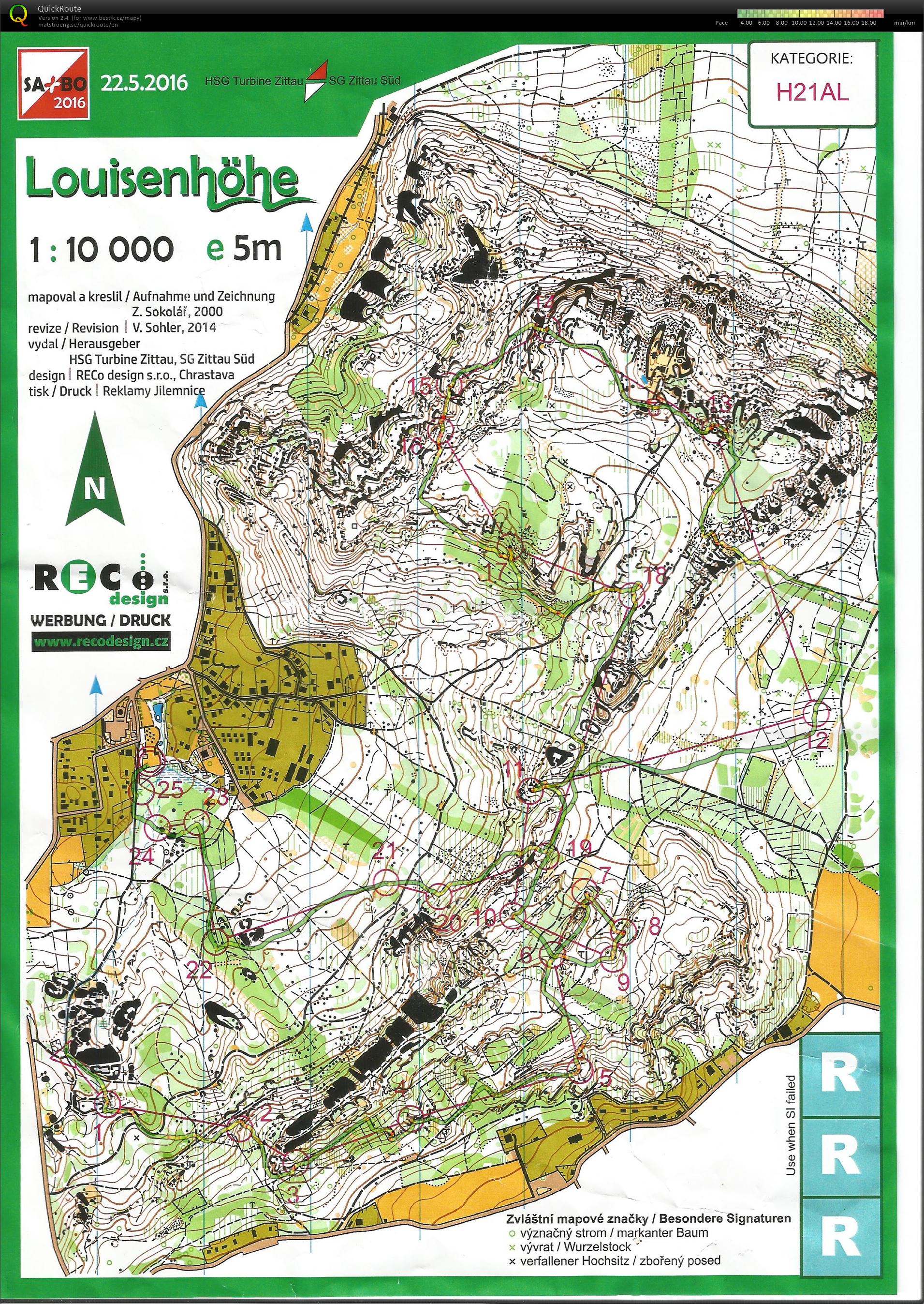
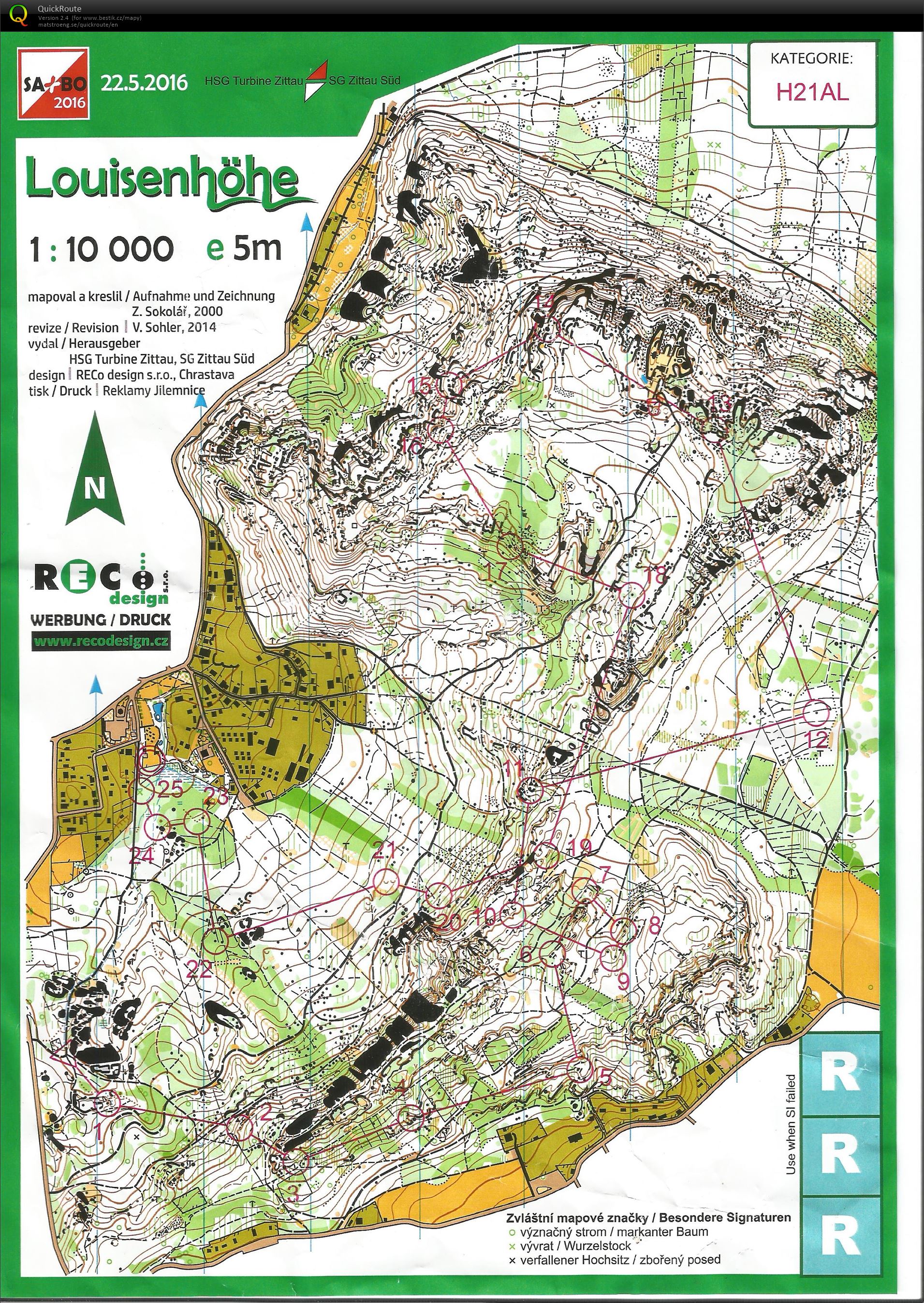
Saxbo 2016 neděle (22/05/2016)
Category:
Závody
Map/area:
Louisenhöhe
Organiser:
ZIT
Country:
GER
Discipline:
long middle
Projected distance: 7.40 km
Climbing: 400 m
Distance:
8.73 km
Time:
61:02
Pace: 8:15 min/km
Real pace: 6:59 min/km
Average HR:
165
Maximum HR:
189
3D Rerun
Felt quite tired and slow but great terrain and weather again made it a great day:)
4: another yellow area when i turned down - 60s
7: just few seconds on the upper rock
12: little bit to the right, but why i don't prepare next leg?
13: bad route choice and too dense area then, in the circle i read that only way to the control is from north but south was okay as well - 60s
17: bad routechoice again and went too low as well - 60s
18: did not notice the rock, too tired or what - 40s
Show comments
Hide comments
(
0
)
Post new comment
Name:
Email:
Save
 English
 česky
česky