Digital Orienteering Map Archive for Michal Besta
|
Log in
All users
|
Language:
English
English
česky
|
DOMA 3.0.6.1
Show routechoices
Hide routechoices
|
Back
<< Vätterbygden By Night / 3 (14/12/2011)
|
Bergspass 2 (07/01/2012) >>
Vätterbygden By Night / 4 (21/12/2011)
Category:
Zimní liga
Map/area:
Bauerskogen
Organiser:
IKHP
Country:
SWE
Discipline:
night
Projected distance: 8.80 km
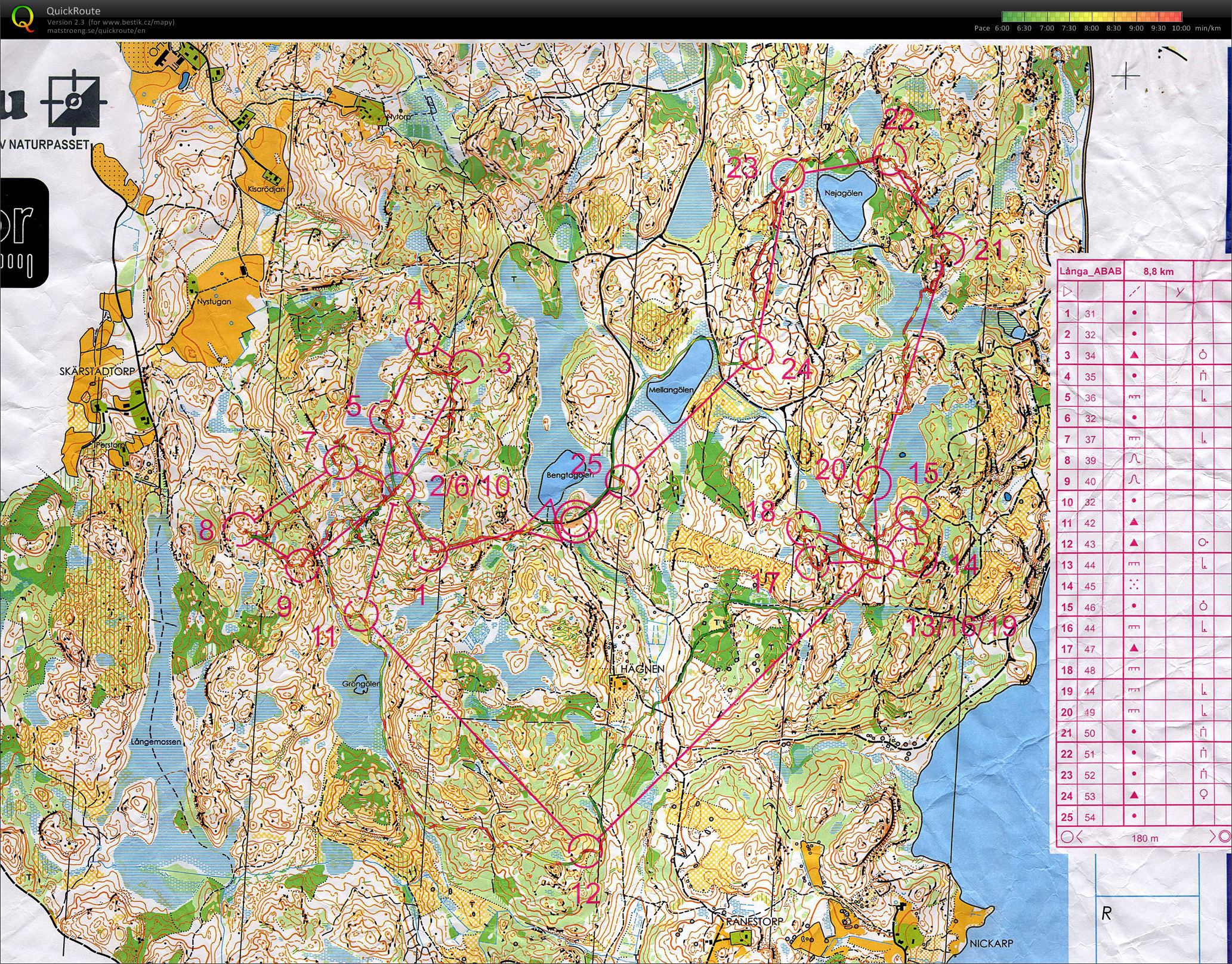
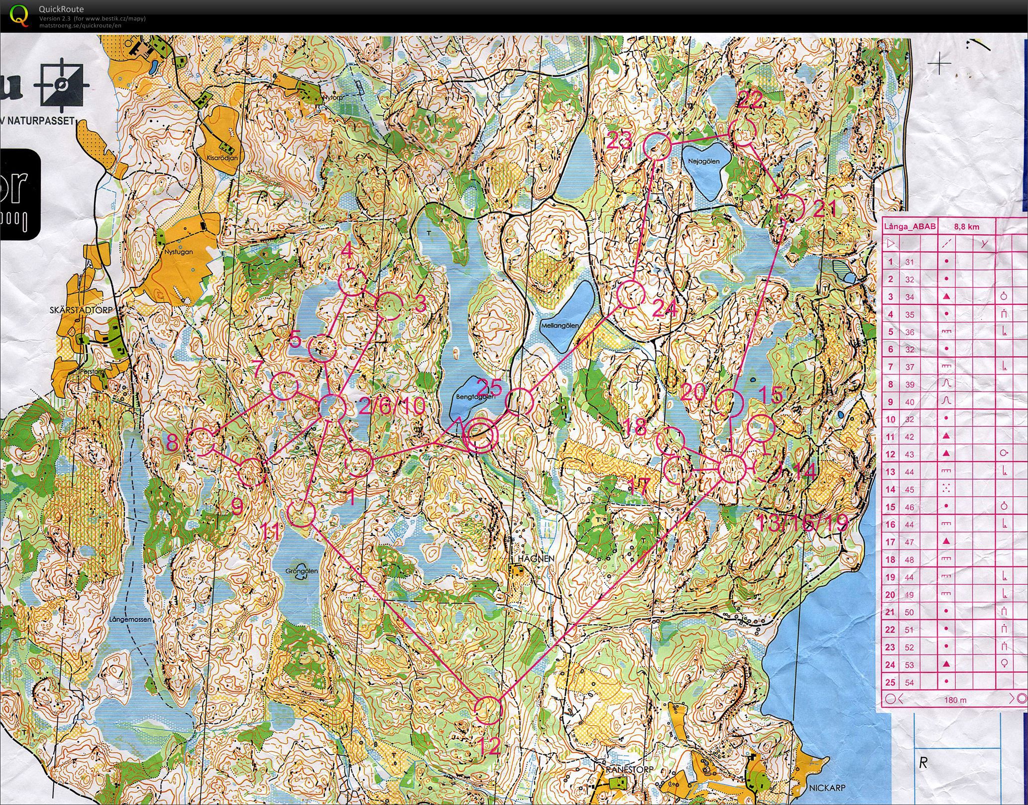
One of the most difficult night trainings here. Bauerskogen is 9-10 min/km race pace during the day. With 10-15 cm of snow and -3 degrees it can be looong trip during the night...
Show comments
Hide comments
(
2
)
Rouman
:
What does mean that small green lines in map? I suppose it is fallen tree?
Bestík
:
Yup, fallen trees... Real fight to get through.
Post new comment
Name:
Email:
Save
 English
 česky
česky